Angola–Democratic Republic of the Congo border Map
The Angola–DRC border is 2,646 km long and consists of two non-contiguous sections: Cabinda (north) and a much longer southern section that runs toward the Zambia tripoint.
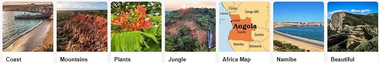
Northern (Cabinda) section border crossing
The border begins on the Atlantic coast and proceeds north-east via an irregular line and then a straighter segment, before turning north toward the Luali River. It follows the Luali to the confluence with the Chiloango, then follows the Chiloango up to the tripoint with the Republic of the Congo.
Southern section border crossing
The southern section starts near the Atlantic Coast at the estuary of the Congo River, follows the river east for a stretch, then continues overland with periodic use of rivers and straight line segments. It eventually reaches the Kasai River system and continues toward the Zambian tripoint.
Practical crossing notes (read before you travel)
Rules and procedures can change quickly. Confirm with official sources and your airline/border post before departure.
Crossing by air (example routing)
Some travelers route via Matadi → Boma → Muanda (coast) and then continue by local transport to Cabinda, before flying onward to Luanda. Availability and pricing vary by season and carrier.
Crossing by bus (long-distance)
Long-distance routes within Angola can be comfortable on major corridors, but schedules and road conditions can vary.
eVisa / border issuance caution
If your authorization is issued as a PDF approval, some border posts may require you to collect the visa sticker at a specific designated point where photo capture/printing is available. Always confirm the exact collection point shown on your approval document.
 Contact
 X
X
 Facebook
 Instagram